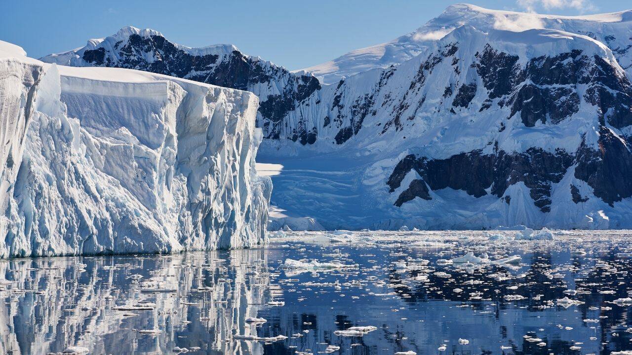
For decades, we treated the bedrock beneath East Antarctica like a forgotten basement. It was just a cold, static basement floor hidden under three kilometers of ice. If you looked at old maps, you saw isolated depressions, deep holes, and random trenches scattered across the continent.
A major study published in Nature Geoscience completely flips that view. An international team of geoscientists led by Dr. Egidio Armadillo from the University of Genoa revealed that these scattered holes aren't random at all. They are deeply connected.
Scientists just mapped a continent-scale, fan-shaped network of basins locked beneath the East Antarctic Ice Sheet. They named it the East Antarctic Fan-Shaped Basin Province, or EAFBP. This mega-structure stretches across a massive chunk of the continent, radiating outward from a central point near the South Pole and expanding toward a 2,000-kilometer-long stretch of coastline.
This isn't just a neat piece of geological trivia. It reveals how the supercontinent Gondwana broke apart millions of years ago. Even more critical for us today, the shape of this hidden bedrock dictates exactly how the world's largest ice sheet flows and where it might fail as global temperatures rise.
Connecting the Dots Under Three Kilometers of Ice
You can't just walk out onto the East Antarctic ice sheet with a shovel and look at the rocks. More than 99% of the continent is completely buried. Instead, the research team had to act like forensic investigators, stitching together decades of complex geophysical data.
They combined radio-echo sounding, satellite gravity measurements, magnetic anomalies, and seismic data. They also calculated something called "rebounded topography." Because the weight of a three-kilometer-thick ice sheet literally crushes the Earth's crust downward, scientists have to mathematically calculate where the bedrock would sit if you peeled that heavy ice away. When you remove that weight in a computer model, the land bounces back by up to a kilometer.
Once the team mapped this rebounded landscape, a striking geometric pattern emerged. Major, famous subglacial features that scientists have studied individually for years suddenly lined up perfectly.
The massive Wilkes Basin, the Aurora Basin, and even the deep trench hosting Lake Vostok—the largest subglacial lake on Earth—are all part of this single system. They radiate outward from the polar interior like the ribs of an open hand fan or the fingers spreading from a human hand.
The Weird Mechanics of Rotational Extension
How does a piece of a continent reshape itself into a giant handheld fan? The team points to a specific geological process called distributed rotational extension.
Imagine placing your hand flat on a table. Keep the base of your thumb completely fixed in one spot, then spread your fingers out as wide as you can. Your fingers represent the structural ridges of the crust, and the widening, triangular gaps between your fingers represent the deep basins.
When continental crust stretches in a straight line, it creates standard rift valleys, like the East African Rift. But when the crust pulls apart while pivoting around a fixed anchor point, it tears open these V-shaped, wedge-like depressions.
The scale of the EAFBP is staggering. The researchers suggest this might be one of the largest and clearest examples of distributed rotational extension ever identified on our planet. The crust didn't just crack. It fanned open across thousands of kilometers, leaving a massive, permanent imprint in the ancient bedrock.
The Ghost of Gondwana
To understand when and why this happened, we have to travel back to the era of Gondwana. Hundreds of millions of years ago, Antarctica wasn't an isolated frozen wasteland at the bottom of the world. It was the centerpiece of a massive southern supercontinent that bound together modern-day Australia, India, Africa, and South America.
Gondwana didn't split up overnight. It ripped apart in violent, prolonged stages starting around 180 million years ago. Antarctica and Australia were among the last pieces to hold onto each other, finally making their clean break much later.
The research suggests that the creation of this fan-shaped province predates that final separation. As the crust rotated and stretched internally, it created a massive zone of structural weakness along the northern edge of the fan.
Think of it like scoring a piece of cardboard before you try to fold or rip it. This fan-shaped deformation created a built-in fracture line in the lithosphere. When tectonic forces later tried to pull Australia and Antarctica apart, the break followed the weakened path that the fan had already laid down. It literally guided the shape of the modern continental margins.
Why the Hidden Bedrock Dictates Our Future Climate
Geology can feel abstract when you talk in chunks of millions of years, but this discovery hits home when you look at modern sea-level rise. The shape of the bedrock is the single most important factor controlling how fast glaciers move.
Glaciers are essentially slow-moving rivers of solid ice. They don't just sit there. They slide toward the ocean under their own immense weight. If a glacier is riding over a flat, high plateau, it stays relatively stable. But if it encounters a deep, smooth, downward-sloping basin, it can accelerate dramatically.
Because the EAFBP underlies roughly half of the East Antarctic Ice Sheet, these deep, V-shaped subglacial valleys act as massive superhighways for ice flow. They channel ice from the deep interior straight out toward the coast.
For a long time, scientists assumed East Antarctica was incredibly stable compared to West Antarctica. West Antarctica's ice sheet sits on bedrock that is mostly below sea level, making it highly vulnerable to warm ocean currents. East Antarctica, being older and higher, was considered the safe, frozen vault of the planet.
This new map shatters that simple assumption. By showing that these massive basins are connected into a single, cohesive province, researchers can better model how subglacial water moves under the ice and how the glaciers themselves will respond to a warming ocean at the coast. If a major marine ice stream at the mouth of one of these fan blades destabilizes, the collapse could trigger a chain reaction that reaches deep into the heart of the East Antarctic interior along these connected paths.
What Needs to Happen Next
The discovery of the East Antarctic Fan-Shaped Basin Province doesn't mark the end of the investigation. Honestly, it just opens up a massive list of new questions that polar scientists need to solve.
First, we need to nail down the exact timeline. While the geometry strongly points to the Gondwana era, scientists still don't know the precise age of the earliest crustal stretching. Did it happen in one massive tectonic event, or did the fan open up in slow, halting stages across multiple eras?
Second, the exact geodynamic engine that drove this rotational stretching remains a mystery. We need more localized seismic arrays and deep ice-coring projects to look at the transition zones where these basins meet the surrounding mountain ranges, like the Gamburtsev Subglacial Mountains. The formation of the fan likely caused the intense uplift that created those buried, Alps-sized mountains in the first place.
If you want to track how this science evolves, keep your eyes on upcoming data releases from international airborne geophysics campaigns. Groups like the National Antarctic Research Program and various collaborative teams are continuously flying radar-equipped planes across the remaining blank spots of the continent. The maps will only get sharper, and our understanding of our planet's frozen history will keep changing.