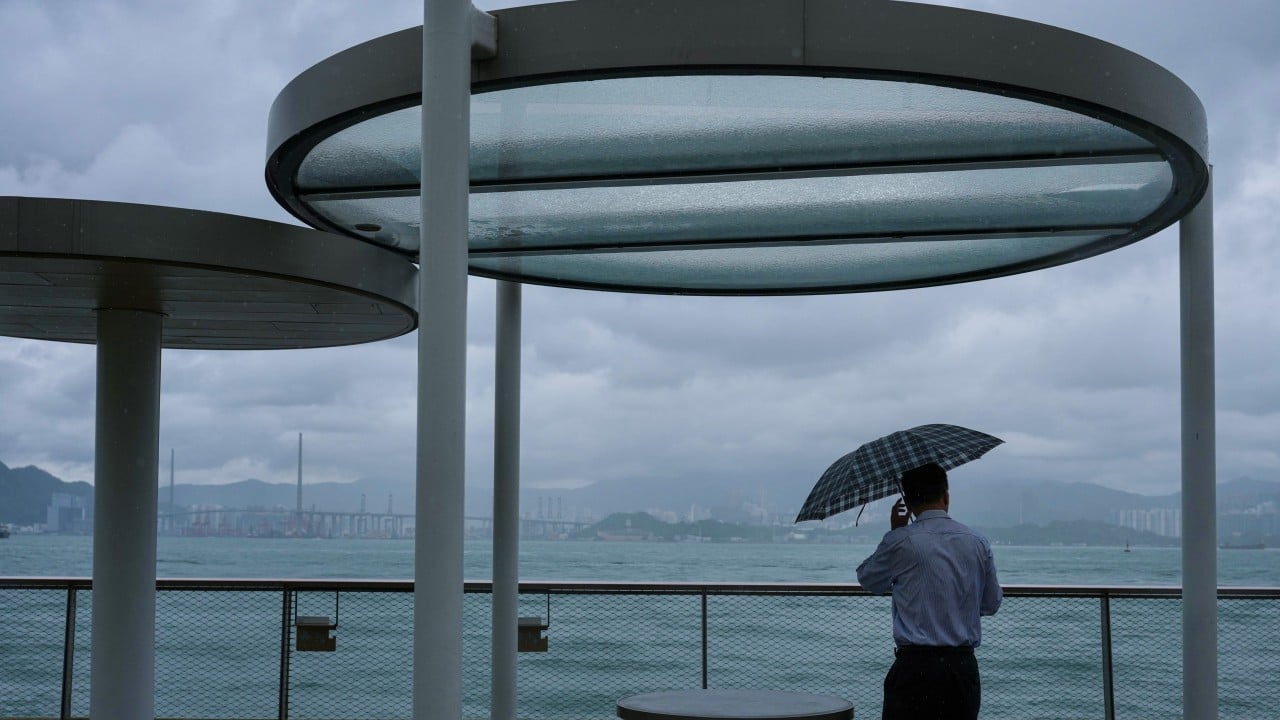
Don't let the phrase "low-pressure system" trick you into dropping your guard.
The Hong Kong Observatory just announced it's evaluating whether to issue Standby Signal No. 1 between Monday night and Tuesday morning. A messy blob of unsettled weather in the northern part of the South China Sea is creeping toward the Guangdong coast. It's consolidating, and if it graduates into a formal tropical depression, the T1 signal goes up.
Here's the twist. The system is projected to skirt within 100 kilometers of Hong Kong by Tuesday morning. For context, massive Super Typhoons usually trigger warnings when they're 500 to 800 kilometers away. This small, unformed system is practically knocking on our front door before it even has a name.
If you're waiting for a classic, beautifully spinning typhoon eye on the satellite map before you pack an umbrella, you're making a mistake. These weak, disorganized systems are frequently far more unpredictable and chaotic for local commuters than a well-behaved Category 3 storm out in the Pacific.
The 100 Kilometer Danger Zone
The current forecast track shows the system moving directly toward the coast, but because it hasn't fully formed a central core, tracking its exact center is incredibly difficult. When a storm is that close to the city, a minor wobble of 20 kilometers north or south makes the difference between a breezy morning and sudden, intense downpours that flood low-lying streets.
The Observatory expects heavy showers, squalls, and severe thunderstorms to hammer the city on Tuesday. They’ve already warned that they might skip straight to localized heavy rain advisories or sudden rainstorm warning signals depending on how quickly the clouds dump water once they hit the local hills.
Why Disorganized Systems Cause More Flooding
When a tropical cyclone is highly structured, meteorologists can use radar to pinpoint exactly when the heaviest rainbands will hit. Disorganized low-pressure systems don't play by those rules. They carry massive patches of convective activity that stall out over the high peaks of Lantau Island or the New Territories.
- The Landslide Risk: Hong Kong's terrain amplifies rainfall. A sudden squall hitting Tai Mo Shan can trigger rapid runoff, transforming quiet storm drains into raging torrents in minutes.
- The Wind Factor: Even if the sustained winds don't reach T3 or T8 levels, squally thunderstorms bring sudden, violent gusts that can easily tear down scaffolding or tree branches. Offshore areas and high ground will feel these gusts intensely through Wednesday.
Ditching the T8 Mentality
Living in Hong Kong breeds a certain complacency. Everyone tracks weather apps hoping for a T8 signal to get a day off work. If it's just a potential T1 or an Amber Rainstorm warning, people assume it's just a normal rainy day.
That mindset gets people stuck in flooded MTR stations.
Just a few weeks ago, volatile rainstorms triggered three separate warning signals in under 90 minutes, disrupting schools and leaving hikers stranded. The Observatory's warnings today emphasize that while the wind signals might remain low, the actual rainfall impact could be severe.
Action Steps for the Next 24 Hours
Stop waiting for the official T1 notification to prepare. Take these steps before you head to bed on Monday night:
- Secure the Balconies: These loose systems generate sudden, directional squalls. Move plants, drying racks, and outdoor furniture indoors immediately.
- Prep for the Morning Commute: Expect localized flash flooding in low-lying areas. If your route involves ground-level buses through the New Territories or flood-prone pockets of Kowloon, leave 20 minutes early.
- Monitor Real-Time Rainfall Radar: Don't just check the headline typhoon signal. Keep the MyObservatory app open to the actual radar chart. Watch the red and purple patches moving across the South China Sea. If a dense patch is heading straight for your district, that matters more than whether the T1 signal is active.
Stay away from the shorelines, skip the evening coastal jogs, and keep your gear dry. This system is small, but it's close enough to pack a punch.